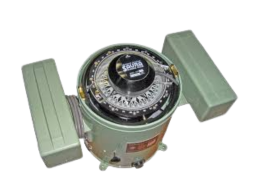
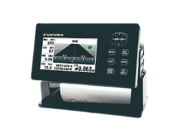
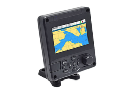
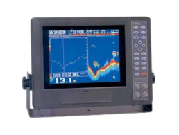
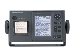
Marine Radar (X-Band)

X-Band Radar is a high-frequency marine radar used for precise target detection and short-range navigation. It operates in the 9–10 GHz range, offering high-resolution imaging, ideal for collision avoidance, port navigation, and detecting small objects. Widely used on commercial vessels, it enhances safety in all weather and sea conditions. It performs well in all weather and is widely used on commercial vessels.

Marine Radar (S-Band)

S-band radar operates in the 2–4 GHz frequency range and is used on ships for long-range detection, especially in harsh weather. Its longer wavelength allows better penetration through rain and fog, making it ideal for navigation and collision avoidance in open seas and poor visibility conditions. it enhances safety in all weather and sea conditions. It performs well in all weather and is widely used on commercial vessels.

ECDIS

ECDIS (Electronic Chart Display and Information System) is a computerized navigation system that uses electronic charts and integrates GPS and other data to aid safe vessel navigation. It replaces paper charts, enhances situational awareness, and ensures compliance with IMO regulations. ECDIS improves route planning, reduces human error, and increases efficiency and safety at sea.

GYROCOMPASS

A gyrocompass is a navigational instrument that finds true north using the Earth’s rotation, not magnetism. Unlike magnetic compasses, it isn’t affected by external magnetic fields. It provides accurate heading information essential for safe and precise steering of ships and other large vessels.

MEGNETIC COMPASS

A magnetic compass is a vital navigation instrument that shows direction relative to Earth’s magnetic poles. It helps mariners determine heading and course, especially when electronic systems fail. Reliable and simple, it’s essential for safe navigation, serving as a backup to modern GPS.

GPS RECEIVER

A GPS Receiver is a vital navigation device that uses satellite signals to determine a vessel’s precise location, speed, and time. It enhances maritime safety, route planning, and operational efficiency. GPS receivers are essential for modern ships, offering accurate, real-time positioning.

AIS

AIS (Automatic Identification System) is a marine tracking technology used to identify and monitor vessels in real-time. It transmits a ship’s identity, position, speed, and course to nearby vessels and coastal stations. AIS enhances navigation safety, collision avoidance, and maritime traffic management.

ECHO SOUNDER

An Echo Sounder is a marine device that uses sonar technology to measure water depth beneath a vessel. It sends sound pulses downward and calculates depth based on the return time. Commonly used in navigation, fishing, and seabed mapping, it enhances safety by preventing groundings in shallow waters.

SSAS

The FMT-SSAS-V1 Ship Security Alert System (SSAS) is IMO-compliant and supports the ISPS Code to enhance maritime security. It features the Orbcomm ST6100 terminal, two panic buttons, and a power pack, enabling global vessel tracking, improved safety, and efficient operations via the IsatData Pro satellite network.

AUTOPILOT

An autopilot is a marine navigation system that automatically steers a vessel along a set course without constant manual input. It enhances navigational accuracy, reduces crew workload, and improves fuel efficiency. Autopilots are essential for long voyages, maintaining course stability.

VDR

A Voyage Data Recorder (VDR) is a maritime “black box” that records essential data from a vessel’s navigation, communication systems. Required by IMO regulations, it helps in accident investigations, performance analysis, radar, engine, and sensor data over a defined recording period.

ANEMOMETER

An anemometer is a device used to measure wind speed and direction, essential for safe and efficient vessel navigation. It provides real-time wind data to the ship’s bridge, and maneuvering. Accurate wind readings help ensure maritime safety, especially in challenging weather or port conditions.